Randt GeoConsulting Inc.

Drone Services
-
Digital Elevation Modelling (DEM)
-
Orthoimages
-
Volume Estimation
-
Digital Elevation Modelling (DEM)
-
Orthoimages
-
Volume Estimation
-
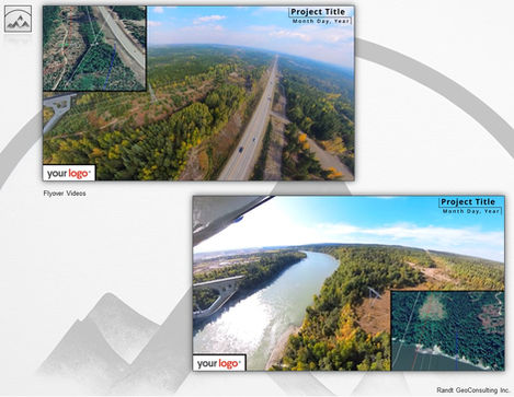
Aerial Photography & Videography
-
Digital Elevation Modelling (DEM)
-
Orthoimagery
-
Volume Estimation
-
Aerial Photography & Videography
-
Digital Elevation Modelling (DEM)
-
Orthoimagery
-
Volume Estimation
-
Aerial Photography & Videography
-
Digital Elevation Modelling (DEM)
-
Orthoimagery
-
Volume Estimation
-
LiDAR Acquisition*
-
ASPRS Point Cloud Classification
-
Custom Classification and Processing (e.g., object tracking, object detection, change detection)
-
Photogrammetry
-
Digital Elevation Modelling (DTM/DSM)
-
Orthomosaics
-
Construction Progress Orthoimagery
-
360 Virtual Tours & Photospheres
-
Aerial Photography & Videography
-
3D Visualization
Randt GeoConsulting holds a Transport Canada drone pilot certificate (Advanced Operations), and carries comprehensive remote piloted aircraft insurance and general commercial insurance.
*In general conformance with the Specifications for Airborne LiDAR for the Province of British Columbia.


